
| Valley Stream, NY Weather | |||
|---|---|---|---|
| LAST READING AT TIME: 5:30 AM DATE: July 04 2024 ,Time of next update: 5:40 AM | |||
| Current Weather | Dry | Current Temperature | 67.7 �F (19.8�C) (Heat Index 68.2 �F ), Apparent temp 70.8 �F |
| Maximum Temperature (since midnight) | 68.6 �F at: 0:00 AM | Minimum Temperature (since midnight) | 66.7 �F at: 1:52 AM |
| Average windspeed (ten minute) | 2.4 mph | Wind Direction (ten minute) | S (180�) |
| Heat Index | 68.2 �F | Maximum Gust (last hour) | 6.0 mph at: 4:40 AM |
| Maximum Gust (since midnight) | 6.0 mph at: 0:09 AM | Maximum 1 minute average (since midnight) | 4.6 mph at: 3:44 AM |
| Rainfall (last hour) | 0.00 in. (0.0 mm) | Rainfall (since midnight) | 0.00 in. (0.0 mm) --- |
| Rainfall This month | 0.00 in. (0.0 mm) | Rainfall To date this year | 28.70 in. (729.0 mm) |
| Maximum rain per minute (last hour) | 0.00 in/min | Maximum rain per hour (last 6 hours) | 0.00 in/hour |
| Yesterdays rainfall | 0.00 in | DewPoint | 62.7 �F (Wet Bulb :64.6 �F ) |
| Humidity | 84 %, Humidex 77.3 �F | Barometer corrected to msl | 30.027 in. (1016.8 hPa) |
| Pressure change | -0.01 in. (last hour) | Trend | STEADY |
| Pressure change (last 12 hours) | -0.10 in | Pressure change (last 6 hours) | -0.05 in |
| Current Indoor temp. 68.5 �F | |||
| Current Indoor hum. 45 % | |||
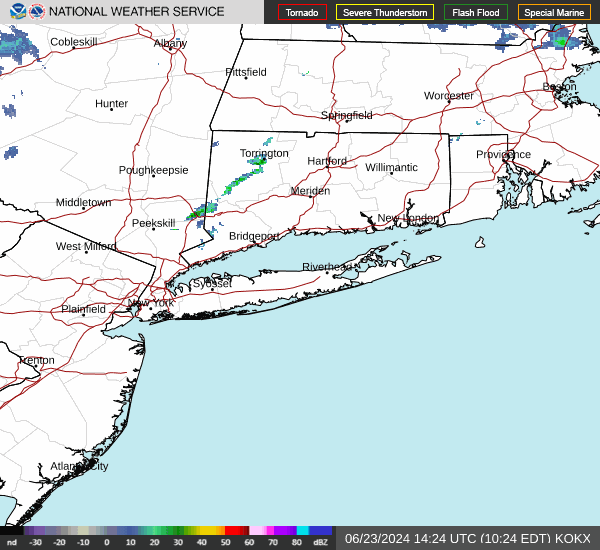
Expires:202407041500;;415921
FPUS51 KOKX 040755
ZFPOKX
FPUS51 KOKX 040754
ZFPOKX

Zone Forecast Product
National Weather Service New York NY
354 AM EDT Thu Jul 4 2024


NYZ179-041500-
Southern Nassau-
354 AM EDT Thu Jul 4 2024

...HIGH RIP CURRENT RISK IN EFFECT FROM NOON EDT TODAY THROUGH
THIS EVENING...

.TODAY...Partly sunny. Highs in the lower 80s. South winds 10 to
15 mph with gusts up to 25 mph.
.TONIGHT...Mostly cloudy. A chance of showers and thunderstorms
in the evening, then a chance of showers with a slight chance of
thunderstorms after midnight. Patchy fog after midnight. Some
thunderstorms may produce heavy rainfall in the evening. Some
thunderstorms may produce heavy rainfall after midnight. Humid
with lows in the upper 60s. South winds 10 to 15 mph. Gusts up to
25 mph in the evening. Chance of rain 50 percent.
.FRIDAY...Patchy fog in the morning. Mostly cloudy with a chance
of showers in the morning, then partly sunny with a slight chance
of showers and thunderstorms in the afternoon. Some thunderstorms
may produce gusty winds and heavy rainfall in the afternoon.
Humid with highs in the lower 80s. South winds 10 to 15 mph.
Gusts up to 25 mph in the afternoon. Chance of rain 40 percent.
.FRIDAY NIGHT...Mostly cloudy. A chance of showers with a slight
chance of thunderstorms in the evening, then showers likely with
isolated thunderstorms after midnight. Some thunderstorms may
produce heavy rainfall. Humid with lows around 70. South winds
10 to 15 mph with gusts up to 25 mph. Chance of rain 60 percent.
.SATURDAY...Showers likely with isolated thunderstorms in the
morning, then showers likely with a chance of thunderstorms in
the afternoon. Some thunderstorms may produce heavy rainfall in
the morning. Some thunderstorms may produce gusty winds and heavy
rainfall in the afternoon. Humid with highs in the lower 80s.
South winds 15 to 20 mph with gusts up to 30 mph. Chance of rain
60 percent.
.SATURDAY NIGHT...Mostly cloudy. A chance of showers and
thunderstorms in the evening, then a chance of showers after
midnight. Some thunderstorms may produce gusty winds and heavy
rainfall in the evening. Lows around 70. Chance of rain
50 percent.
.SUNDAY...Mostly sunny. Highs in the mid 80s.
.SUNDAY NIGHT...Partly cloudy. Lows around 70.
.MONDAY...Mostly sunny. Highs in the mid 80s.
.MONDAY NIGHT...Partly cloudy. Lows around 70.
.TUESDAY...Partly sunny. A chance of showers in the afternoon.
Highs in the mid 80s. Chance of rain 30 percent.
.TUESDAY NIGHT...Mostly cloudy with a chance of showers. Lows in
the lower 70s. Chance of rain 50 percent.
.WEDNESDAY...Mostly cloudy in the morning, then becoming partly
sunny. A chance of showers. Highs in the lower 80s. Chance of
rain 50 percent.

$$


KENNEDY INTERNATIONAL AIRPORT , NY, United States (KJFK) 40-38N 073-46W 9M
Jul 04, 2024 - 04:51 AM EDT / 2024.07.04 0851 UTC
Wind: from the SW (220 degrees) at 7 MPH (6 KT):0
Visibility: 10 mile(s):0
Sky conditions: mostly cloudy
Temperature: 69.1 F (20.6 C)
Dew Point: 63.0 F (17.2 C)
Relative Humidity: 80%
Pressure (altimeter): 30.04 in. Hg (1017 hPa)
Pressure tendency: 0.04 inches (1.2 hPa) lower than three hours ago
ob: KJFK 040851Z 22006KT 10SM BKN065 BKN090 BKN250 21/17 A3004 RMK AO2 SLP171 T02060172 58012
cycle: 9
Southern State Parkway Traffic Cam
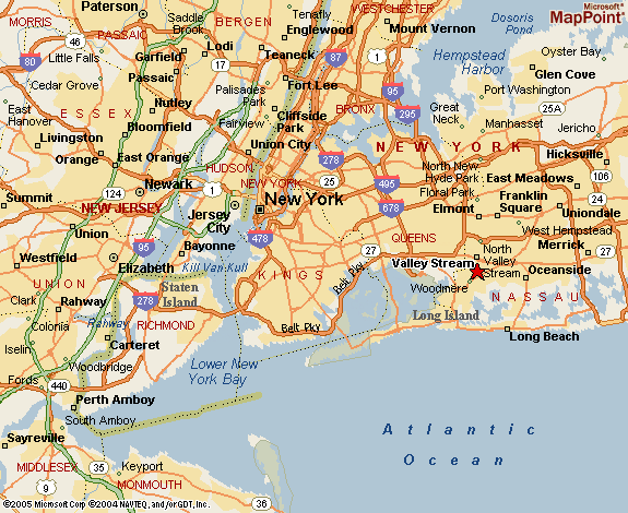
Weather Station Location


Click here for the NOAA report to date for the month

![]()
Use the RELOAD facility on your browser to retrieve the latest data.